
Modern automated distribution centers pair sensor algorithms with sharp floor delineations to coordinate autonomous mobile robots alongside human crews.
It’s safe to say that automated logistics hubs are impacting the way goods move through warehouses, fulfillment facilities, and distribution centers. Tasks once heavily reliant on human labor are now handled by autonomous robots, robotic picking systems, automated guided vehicles, and more.
These tools are intended to help businesses process orders much faster and lower the physical demands that put a lot of pressure on warehouse workers, etc. Although software and robotics are frequently in the spotlight, bear in mind that the physical environment is just as essential to the success of automation.
The reality is that robots cannot move through a warehouse efficiently just because they are designed to do so. They require reliable information about which routes they can opt for, where they are, whether there are any hurdles, and how their movements are associated with the activities of other people and machines.
In these situations, a properly organized logistics hub can be a great solution because it’s a perfect blend of digital intelligence and a thoroughly planned physical environment. Clear travel routes, consistent floor conditions, and many others assist automated systems in functioning as part of a coordinated operation.
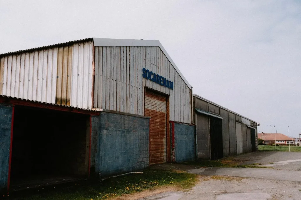
The Importance Of Physical Navigation In Automated Warehouses
Modern distribution facilities will typically have a number of different types of equipment all operating at the same time. You’ll have autonomous robots moving pallets from rack to packing station, forklifts coming in to replenish, people picking the products, and the conveyor system moving the cartons towards the dispatch area.
Everything is predicated on the movement of the materials through that common space. Navigation errors in this environment can have repercussions that go way beyond just one task being delayed.
A robot that’s consistently taking the long way around will most likely slow down a number of other processes. A badly defined crossing point can completely halt the flow of traffic between storage and packing.
If staff and machines aren’t absolutely clear on where they’re meant to be going, then the potential for confusion and unsafe interactions goes up. Physical navigation planning helps to alleviate these issues by providing a clear structure for movement.
The main transport routes can link the receiving, storage, picking, packing, and shipping areas with smaller access routes serving the individual work areas. Designated areas for waiting and for turning provide the mobile equipment with the space it needs to move around without unduly impeding other operations.
This is, of course, of paramount importance in high-volume order environments. During peak periods, a small delay on one route can have a massive impact when that same route is being used for so many orders.
A good layout will ensure that movement is as predictable as possible, which in turn allows the automated systems to carry out their functions with as little disruption as possible.
What’s The Purpose Of Visible Floor Guidance And Industrial Floor Marking?
Even though digital navigation offers very thorough information, visible features on the warehouse floor are still a crucial part of physical organization. Pedestrian crossings, marked lanes, restricted areas, etc., play a major role in communicating how the facility is going to operate.
They give workers instant visual cues and reinforce the boundaries that support safe movement. In these instances, industrial floor marking becomes an integral part of warehouse planning. Consistent markings can make a difference between vehicle routes and pedestrian walkways, emphasize spaces that must stay clear for emergency access, and unveil areas where materials can be temporarily staged.
Once these boundaries become recognizable, employees have a better understanding of how actions impact the wider operation. Keep in mind that floor markings aren’t supposed to replace the navigation systems installed on autonomous robots.
A camera-based vehicle may not depend on painted lines to determine its position, and a digital map can define a route without any marking on the floor. Visual guidance is here to make consistency between the digital plan and the way people make use of the physical space.
For instance, a warehouse may designate a main transport corridor that serves as a connection between receiving with storage and dispatch. A nearby pedestrian crossing can show where staff should cross the route, while a clearly defined staging area can keep pallets from slowly occupying the available travel space.
The benefit of these marking depends on their placement and condition. Lines that have completely faded or aren’t easily distinguishable may no longer be capable of communicating the intended rules.
Positioned markings that aren’t positioned the right way can cause confusion if they conflict with typical traffic patterns. Color conventions must stay consistent throughout the building. A certain scheme should be different in facilities but employees aren’t obligated to interpret a brand-new meaning each time they enter the other zone.
How Robots “Perceive” Their Surroundings?
Autonomous mobile robots use a variety of technologies to sense their environment. Some use laser scanners along with a SLAM (simultaneous localization and mapping) system to determine their position and build or update a map of the facility.
Others use cameras, depth sensors, reflectors, magnetic guidance, or simply follow a predefined route. The right technology will be dependent on the application, the required level of accuracy, and the conditions in the warehouse.
These technologies enable the robot to determine its position, detect obstacles, and adapt its movement as the situation changes. The quality of navigation is, however, very much dependent on the consistency of the environment.
A change in lighting, a change in the reflectivity of the surface, a temporary obstruction, damaged flooring, or a poorly organized storage area can all have a negative effect on perception and movement.
A robot may be able to detect an obstacle (say a pallet) and respond to that, but that doesn’t in any way mean the overall operation is well organized. If pallets are regularly left in the designated travel lanes, then the robot will be stopping, rerouting, or waiting for a clear path on a regular basis.
It can deal with the immediate problem, but it can’t fix the root cause of the problem on its own. Warehouse design should take into account both the way machines ‘see’ the warehouse and the way humans actually behave in it.
Clear storage rules, consistent traffic flow, and good housekeeping all create an environment in which the navigation systems can operate in a much more predictable manner.
Making Sure Communication Between Machines And People Is Safe
Certainly, one of the most vital considerations when it comes to automated logistics hubs is human-robot interaction. Even facilities that are highly automated are still longing for a workforce that’s going to inspect goods, resolve exceptions, etc.
Total separation between machines and people may not always be practical, especially in constructions that weren’t made for automation. The safest approach is to detect where interactions are required and then manage them.
Pedestrian walkways can be divided from classic vehicle routes, while controlled crossings offer access to parts on the other side of a transport corridor. Maintenance zones may need additional restrictions, while charging stations are supposed to be placed so that robots can come and go without blocking hectic paths.
Physical limitations must be properly supported by the safety features that come with the equipment itself. Depending on the application, these can include emergency stops, obstacle detection, warning signals, etc.
Furthermore, site procedures are here to explain how the workforce is expected to behave around moving equipment and the steps they need to take when robots suddenly stop working.
Planning Routes Around Operational Needs
The most efficient route through a warehouse isn’t necessarily the shortest. An automated logistics planner has to take into account traffic density, access requirements, turning space, safety constraints, charging locations, and the order in which the orders need to be picked.
A straight line between two points may well be the wrong route if it goes through a busy picking area or cuts across a route that’s used by incoming pallets. The alternative may be a slightly longer route, which allows the robot to go continuously without having to wait for other equipment.
At scale, those little differences can make a big difference to throughput. Facility planners tend to separate movement into different strata. You have your high volume routes, which are the main arteries for the regular movement between the various major areas of the facility; then you have your secondary routes, which provide access to the individual aisles and workstations.
You’ll have your pedestrian areas and your restricted equipment areas as far as possible. Intersections are a particular concern as they bring together movements that would otherwise be entirely separate.
The layout must also take into account the physical capabilities of the equipment. A robot designed to be carrying heavy loads will probably require more turning space than a smaller robot, which is just transporting individual cartons.
Pallet handlers may require wider aisles than a more compact mobile robot, which can often operate in a much tighter space. The routes should reflect these differences rather than assume that every piece of equipment can use every route.
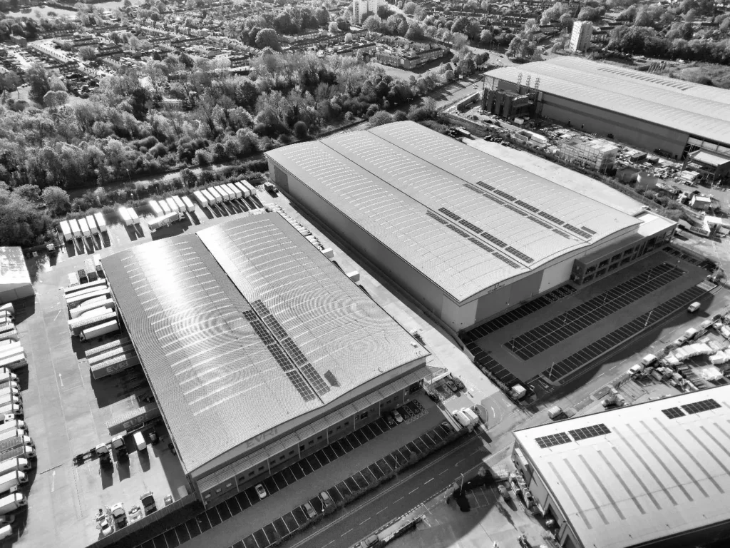
Automated logistics hubs depend on a good relationship between intelligent equipment and a solidly organized physical environment. Reliable floor conditions, clear traffic patterns, precise digital maps, and visible boundaries contribute to more predictable movement.